Link to vision document – By Kairos Design Group
Strongtowns highlighted that Lower Macungie introduced the term Stroad into our Rt. 222 corridor study. Thanks to our consultant Craig Bachik. Craig and I had Stroad conversations starting at stakeholder meetings about a year ago.
This post is largely for my Strongtowns friends and fellow supporters. I wanted to post some pictures of our local Stroads for context to demonstrate what we are dealing with.
When I ran for office I really did try to as clearly as possible campaign on a Strongtowns influenced platform highlighting how land use decisions relate to long term fiscal resiliency. The simple message resonated with voters.
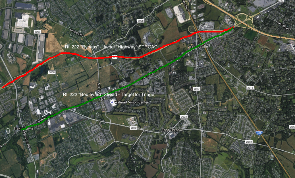
Lower Mac’s side by side Stroads: Dangerous. Low value. Expensive.
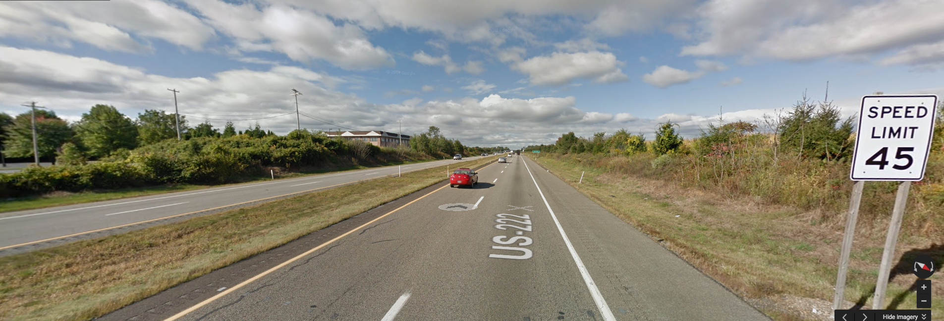
The Rt. 222 “Bypass” Jaindl “Highway”- 2 lane divided Stroad – Built with highway geometry.
- Posted 45 Mph – Local “speed trap”.
- Sequence of traffic signals including one of the most dangerous intersections in the region.
- Fails to move cars any quicker or more efficiently than adjacent roads.
The Rt. 222 Boulevard – Lower Macs target for de-Stroadification triage.
Current conditions:
- 3 lane Stroad (2 overly wide travel 1 suicide lane)
- In stretches very abrasive place for pedestrians. In most cases ped and bike facilities totally non-existent.
- Portions of the corridor have suffered from disinvestment and some traditionally commercial areas now experience high rates of vacancy.
- Today the corridor contains: 2,233,000 +/- SF of Retail/Office • 2,487,600 +/- SF Warehouse/Office • 130 +/- Residential Units • 13,150+ Parking Spaces
- There are currently little or no residential uses in the corridor.
- Large areas of impervious coverage exacerbate existing storm water and flooding issues.
- Parks and open space are not well connected to residential neighborhoods; many recreation areas are only accessible by automobile.
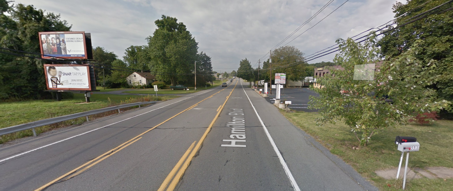
3 lane Stroad. What should be the townships “bread basket” in terms of a resilient taxbase, today is filled with low value, low density development despite massive infrastructure investments in the corridor.
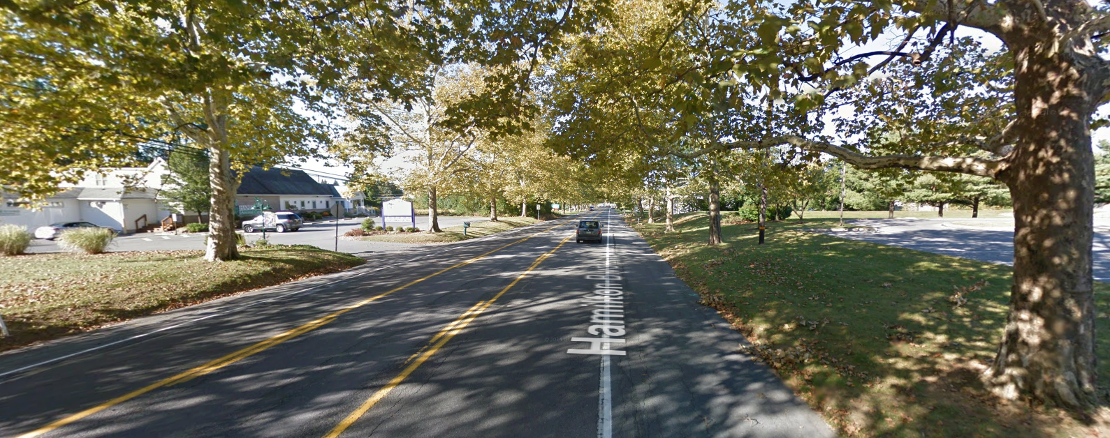
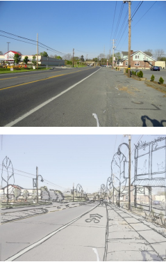
The bones are here for repair. The sycamore trees planted by General Trexler are protected and form the foundation of a multi-modal high value Boulevard.
1. Foster distinctive, attractive settings with a strong sense of place. The corridor is already home to many of the region’s destinations. Strengthening the connections between these destinations will enhance the identity of the corridor and will create a greater sense of place.
2. Preserve and enhance cultural and historic resources. Celebrating the corridor’s history requires more than preservation. New development should respect the traditional character found in much of the study area. For example the historic sycamore trees.
3. Promote municipal cooperation. The future of Hamilton Boulevard depends on the ability of both Lower and Upper Macungie Townships to work together to solve interrelated land use and transportation issues.
4. Road Diet – Creating complete streets that accommodate vehicles, pedestrians, and cyclists will lessen auto dependence and lead to a more balanced transportation system.
6. Enhance access to public transit. The corridor already contains the region’s transit network (LANTA). Existing investments can be maximized by improving the accessibility and effectiveness of public transit.
7. Encourage higher value/higher return land use and development patterns. Mixing land uses, and providing a range of housing options can reinforce the corridor’s sense of place and improve quality of life.
8. Seeking low cost but high return incremental opportunities for placemaking.

